 GeoData.NZ
Maori blocks
Type of resources
Keywords
Contact for the resource
Provided by
Update frequencies
Scale
-
The NZMS 177A series provides cadastral information for the New Zealand mainland at the 1:63,360 scale. It differs from NZMS 177 by providing additional cadastral information in blue. Full coverage of the country was achieved except Stewart Island/Rakiura. The series was published from 1960 until its discontinuation in 1975. It was superseded by the NZMS 261 series.
-
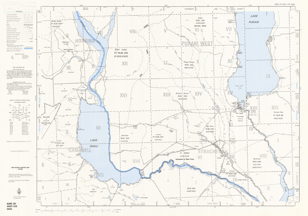
The NZMS 261 series provides cadastral information for the New Zealand mainland and Chatham Islands at the 1:50,000 scale. Full coverage of the country was achieved except Three Kings Islands and Fiordland, which were intentionally omitted. The series was published between 1974 and 1991. It was replaced by the Landonline service.
-
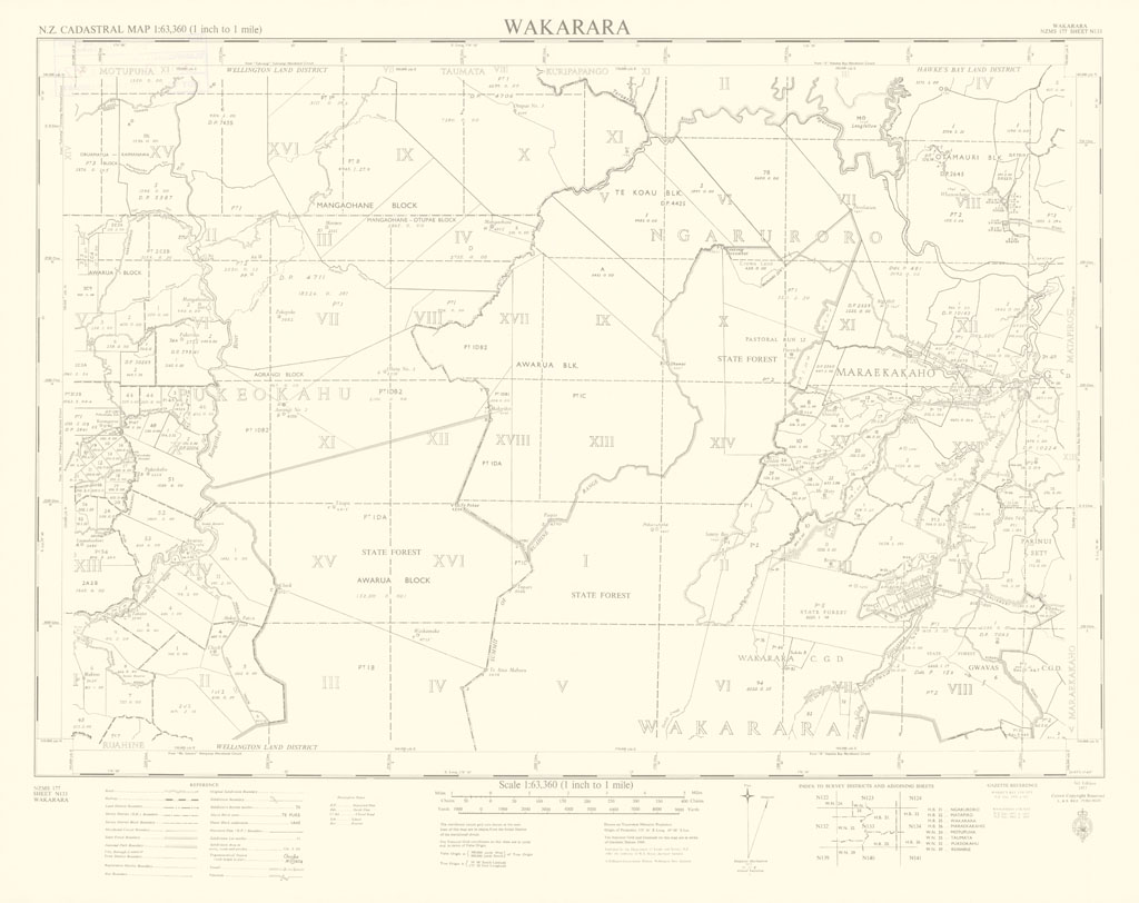
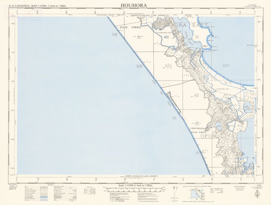
The NZMS 177 series provides cadastral information for the New Zealand mainland at the 1:63,360 scale. Full coverage of the country was achieved except Stewart Island/Rakiura. The series was published from 1960 until its discontinuation in 1974. It was superseded by the NZMS 261 series.
-
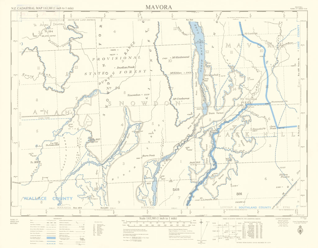
The NZMS 177A series provides cadastral information for the New Zealand mainland at the 1:63,360 scale. It differs from NZMS 177 by providing additional cadastral information in blue. Full coverage of the country was achieved except Stewart Island/Rakiura. The series was published from 1960 until its discontinuation in 1975. It was superseded by the NZMS 261 series.
-
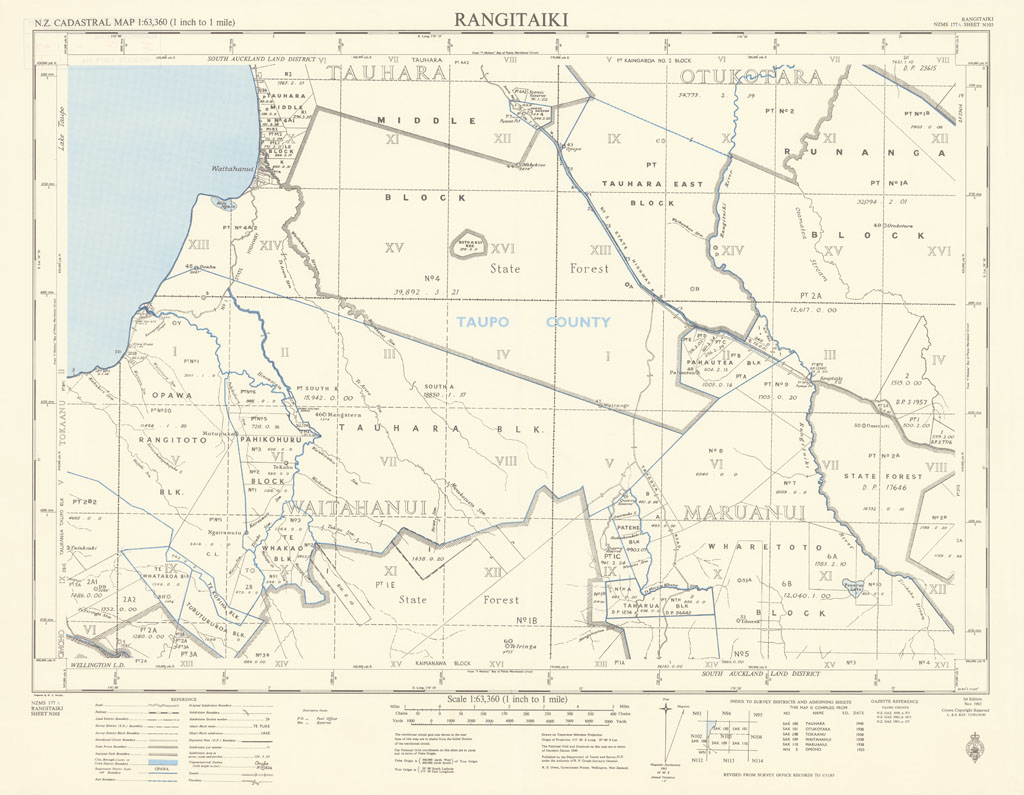
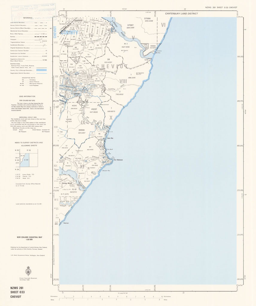
The NZMS 261 series provides cadastral information for the New Zealand mainland and Chatham Islands at the 1:50,000 scale. Full coverage of the country was achieved except Three Kings Islands and Fiordland, which were intentionally omitted. The series was published between 1974 and 1991. It was replaced by the Landonline service.
-
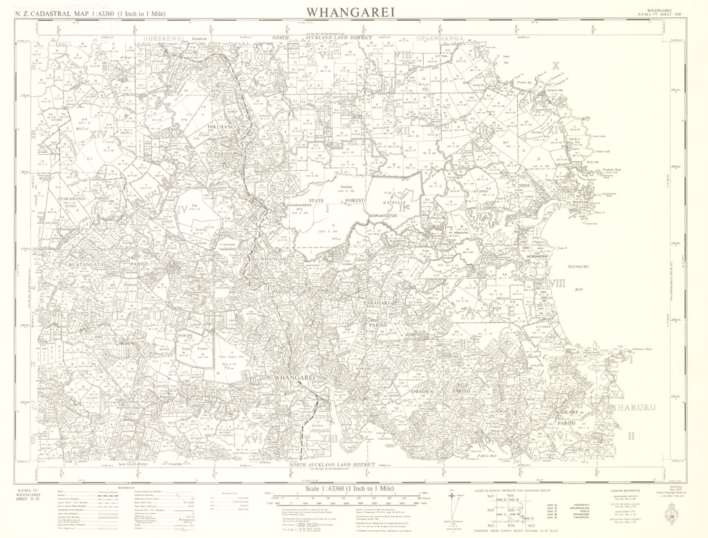
The NZMS 177 series provides cadastral information for the New Zealand mainland at the 1:63,360 scale. Full coverage of the country was achieved except Stewart Island/Rakiura. The series was published from 1960 until its discontinuation in 1974. It was superseded by the NZMS 261 series.
-
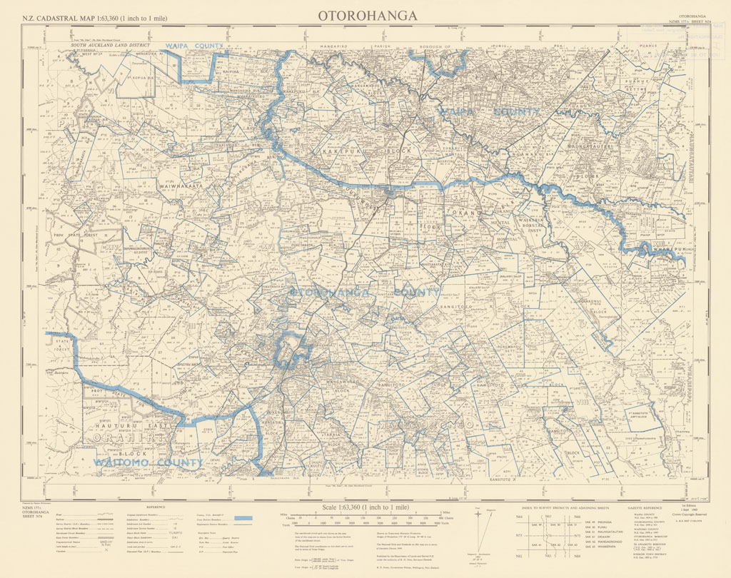
The NZMS 177A series provides cadastral information for the New Zealand mainland at the 1:63,360 scale. It differs from NZMS 177 by providing additional cadastral information in blue. Full coverage of the country was achieved except Stewart Island/Rakiura. The series was published from 1960 until its discontinuation in 1975. It was superseded by the NZMS 261 series.
-
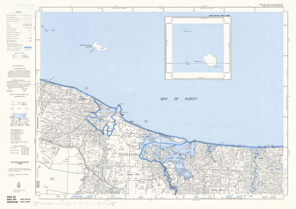
The NZMS 261 series provides cadastral information for the New Zealand mainland and Chatham Islands at the 1:50,000 scale. Full coverage of the country was achieved except Three Kings Islands and Fiordland, which were intentionally omitted. The series was published between 1974 and 1991. It was replaced by the Landonline service.
-
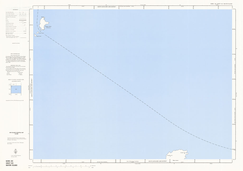
The NZMS 261 series provides cadastral information for the New Zealand mainland and Chatham Islands at the 1:50,000 scale. Full coverage of the country was achieved except Three Kings Islands and Fiordland, which were intentionally omitted. The series was published between 1974 and 1991. It was replaced by the Landonline service.